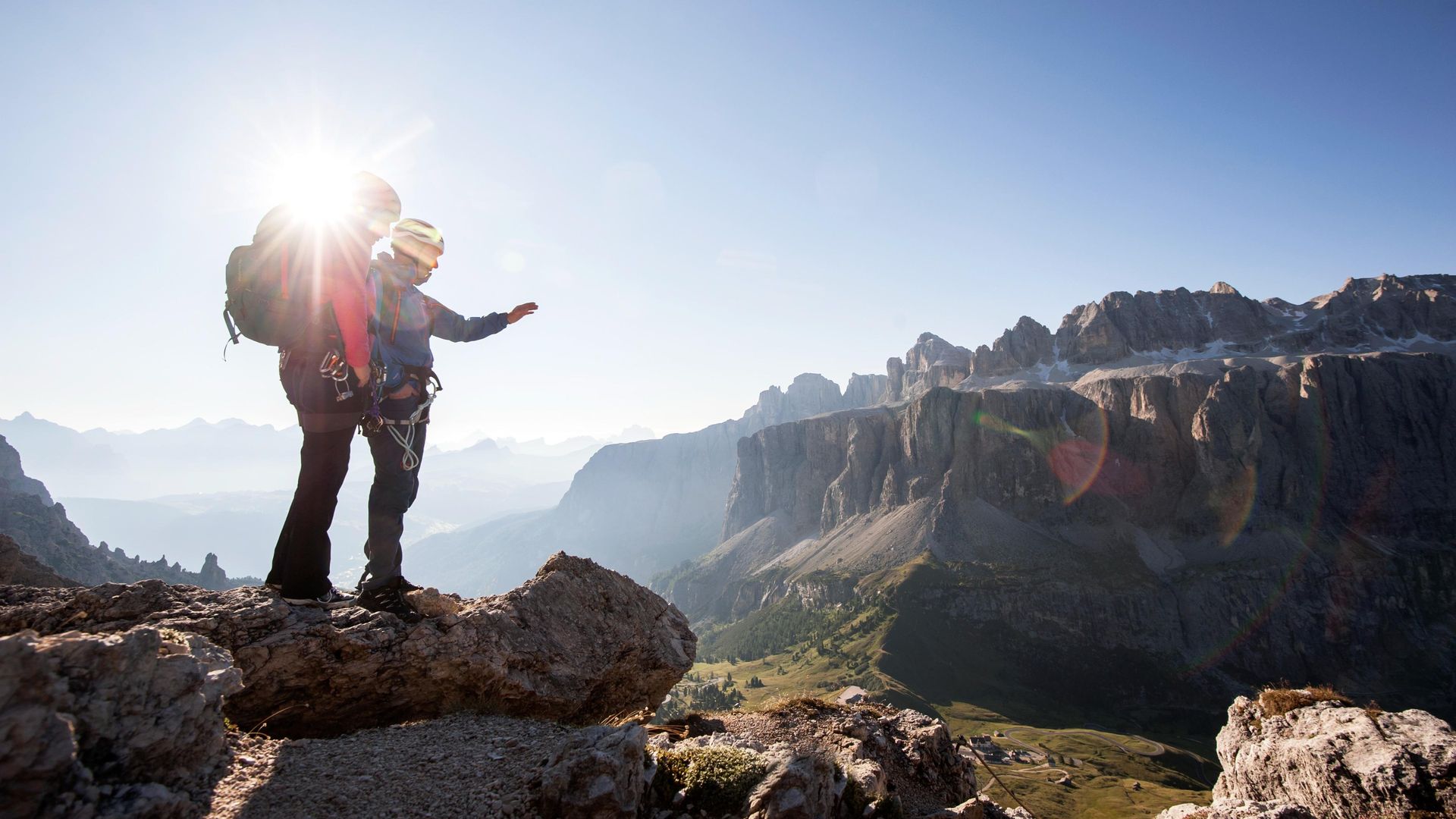
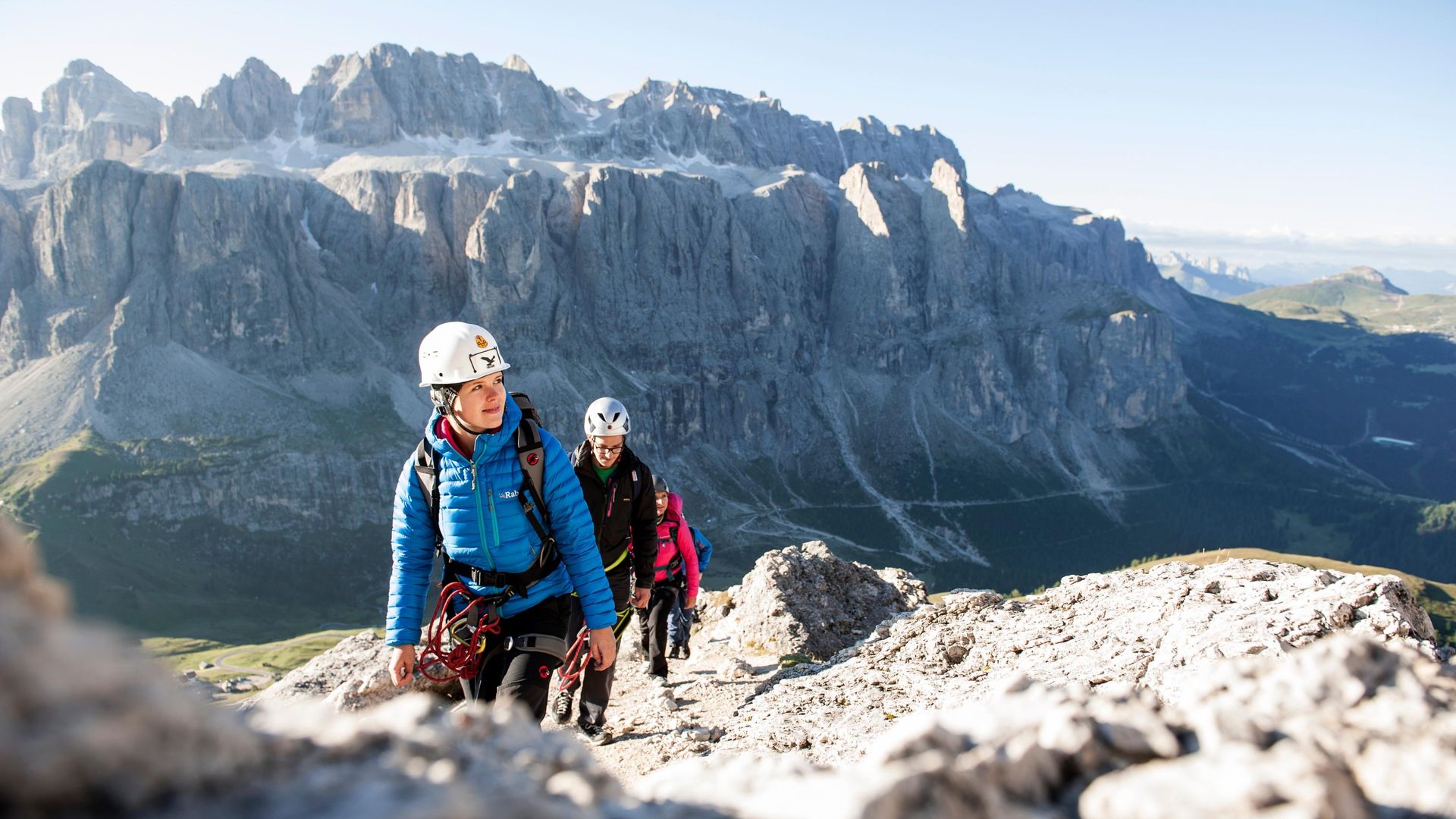
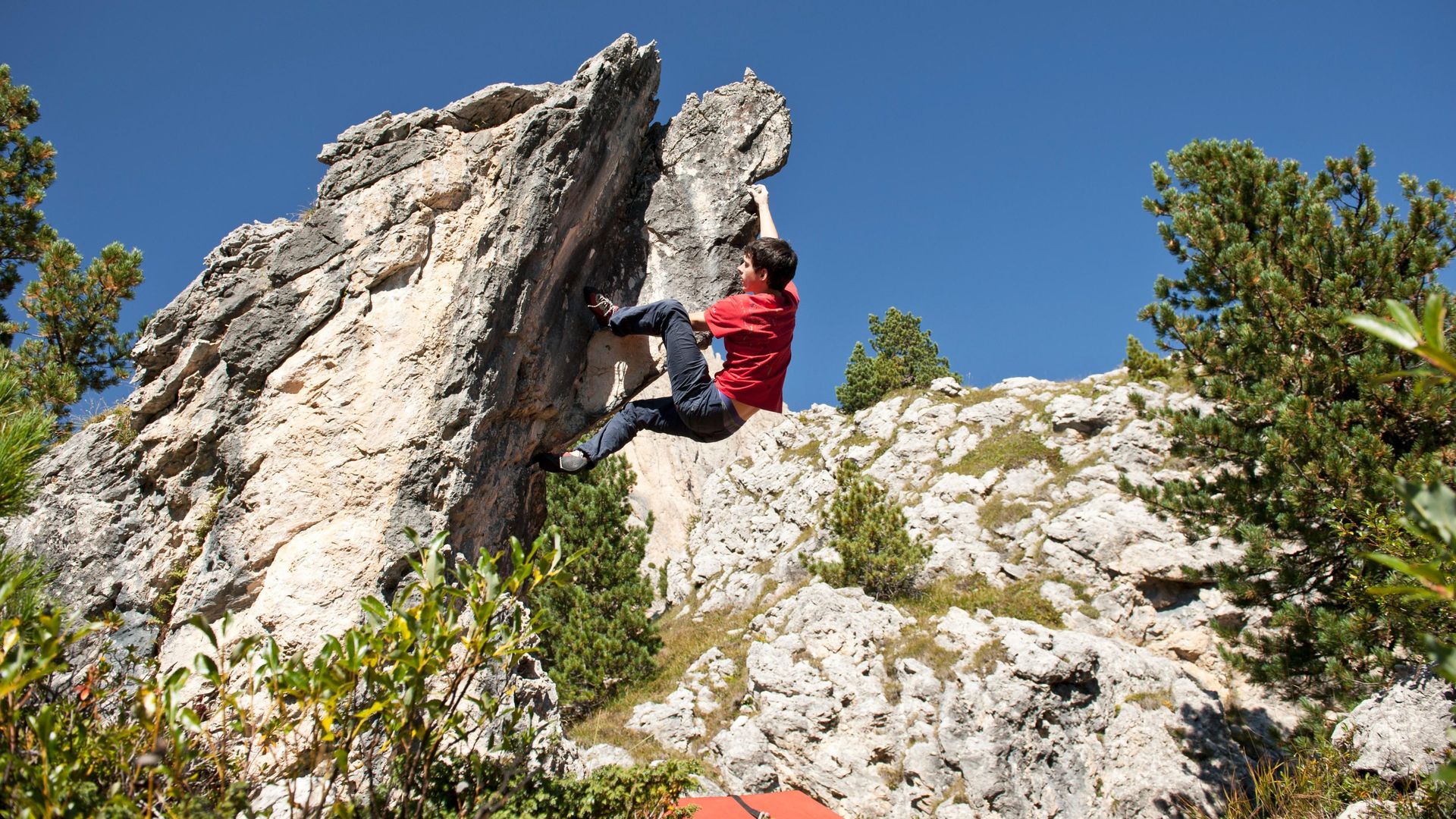
A climbers' paradise
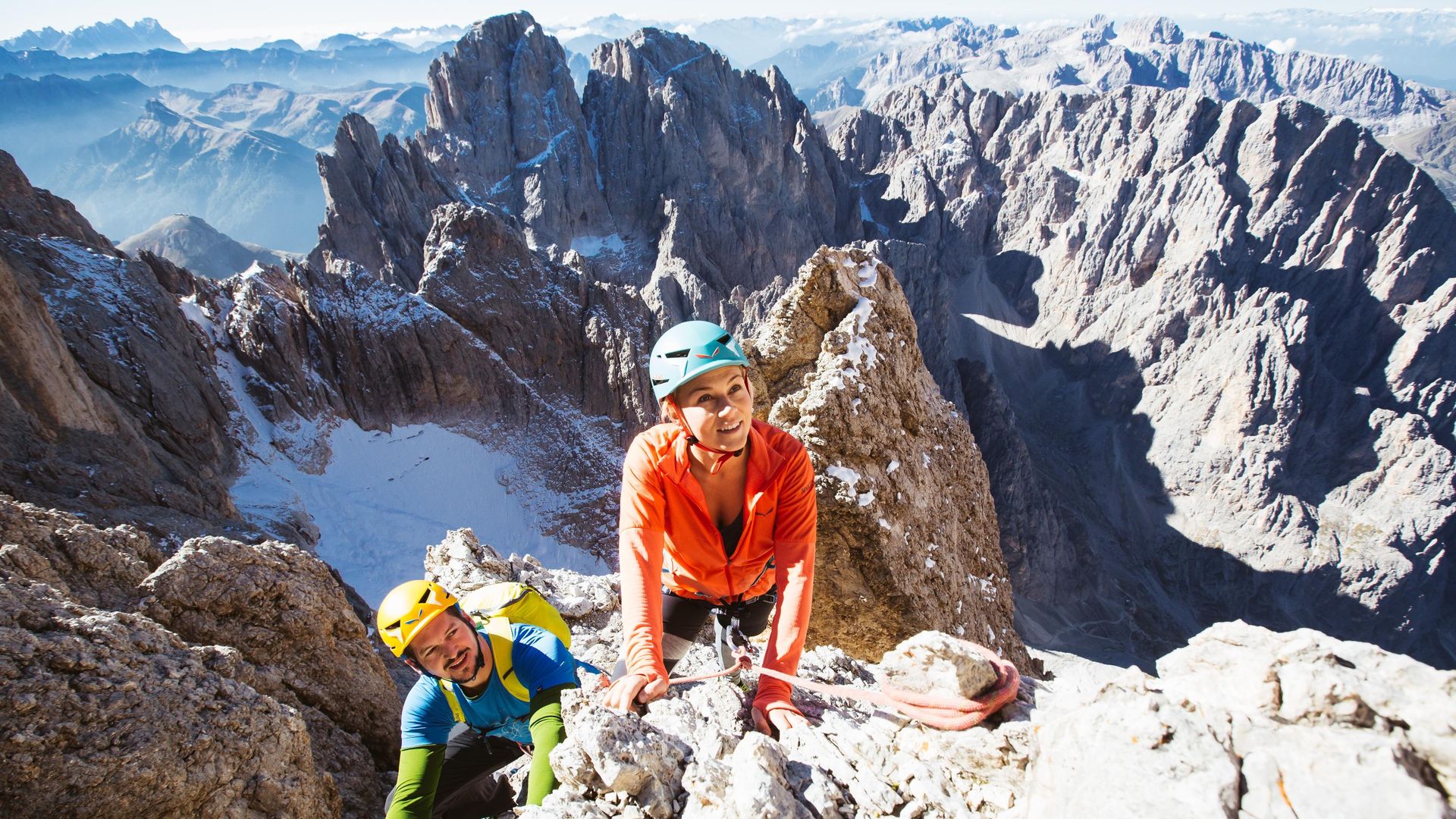
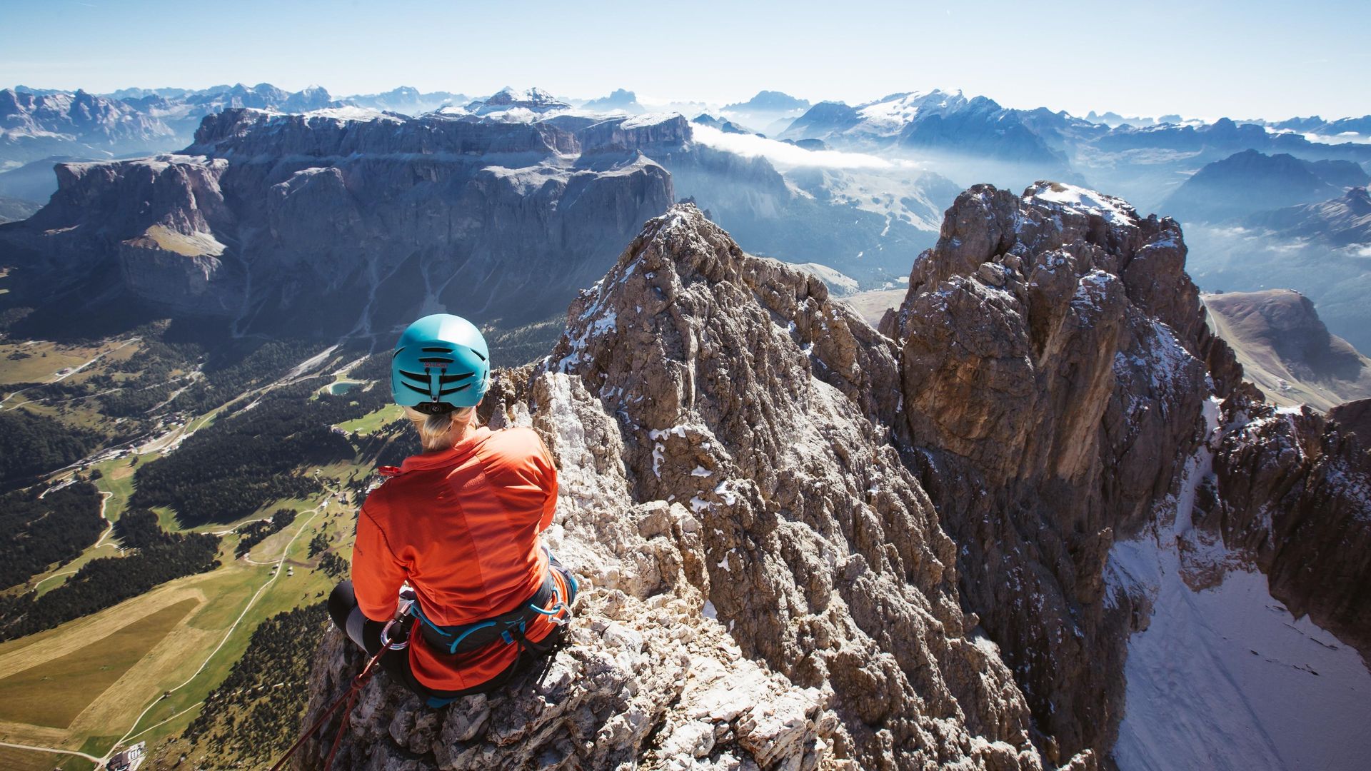
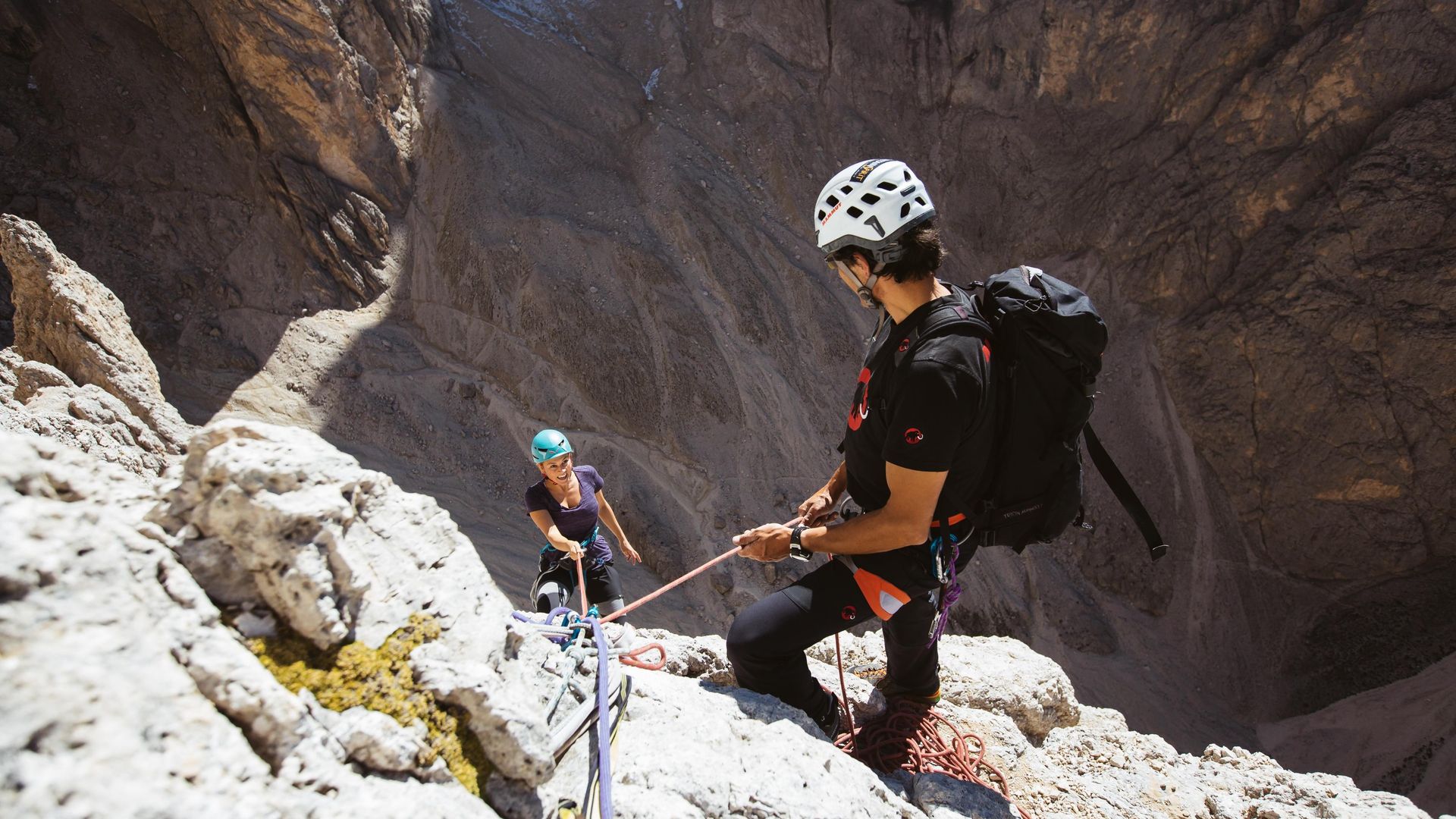
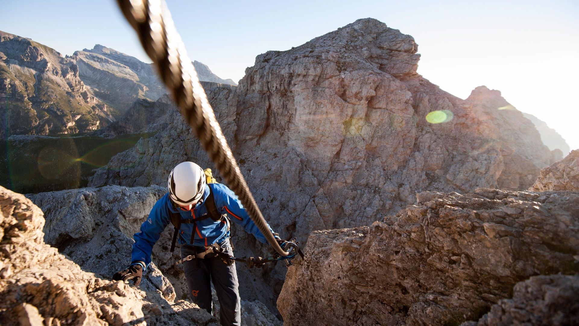
A UNESCO World Heritage Site, the Dolomites are a climbing paradise. Whether mountaineering, alpine climbing, sport climbing, bouldering or tackling high ropes courses – you will find the perfect conditions for a climbing holiday here. Val Gardena, with its villages of Ortisei, S. Cristina and Selva, is the ideal starting point for unforgettable climbing tours that will lead you to famous Dolomite peaks and magical views. The Dolomites have long been world-famous as a hotspot for alpine climbing. Adventures await you on the via ferratas in Val Gardena and the surrounding area that will take you to your limits and allow you to grow beyond them.
Highlights: Climbing in Val Gardena
- Val Gardena is home to some of the most famous climbing routes in the Dolomites. Here you can add amazing highlights to your tour book.
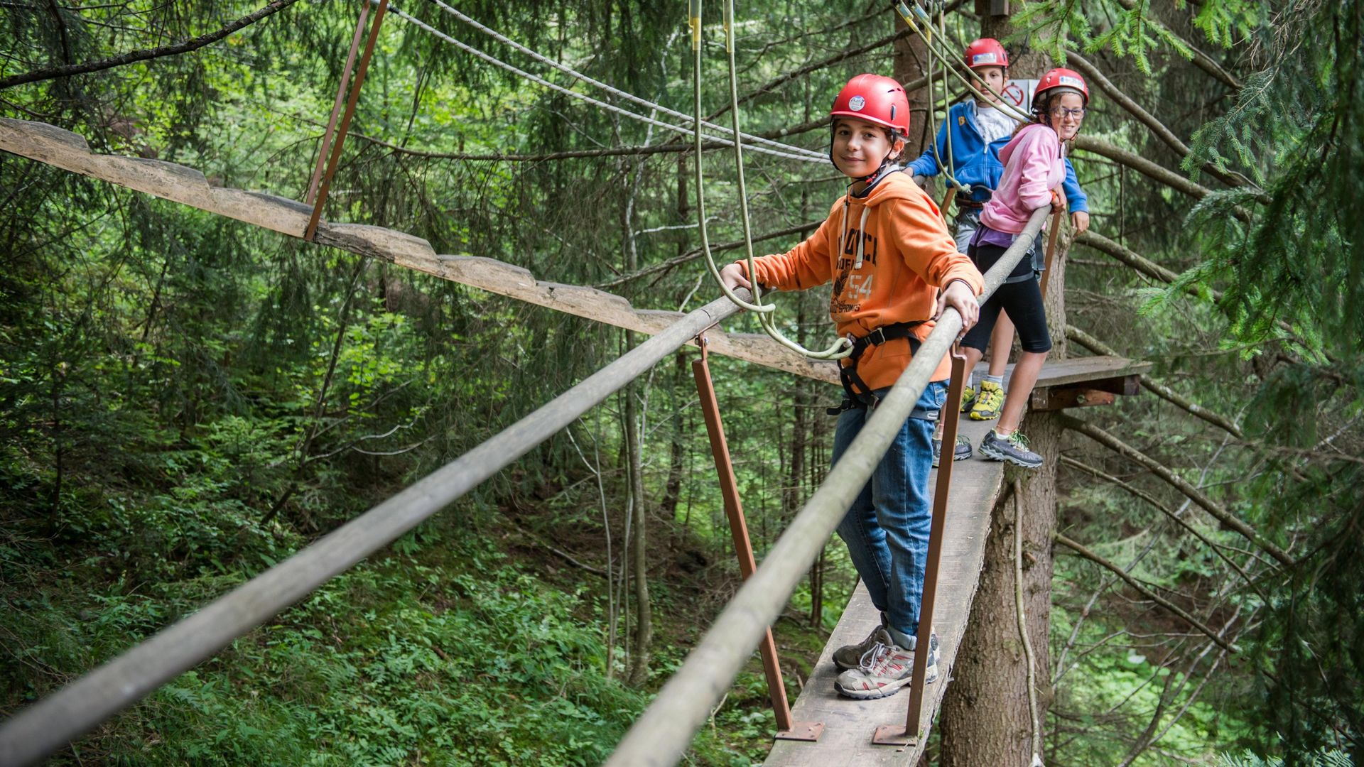
- The via ferratas in the Dolomites are unique. Get to know historic via ferratas that have challenged athletes on the rocks for generations.
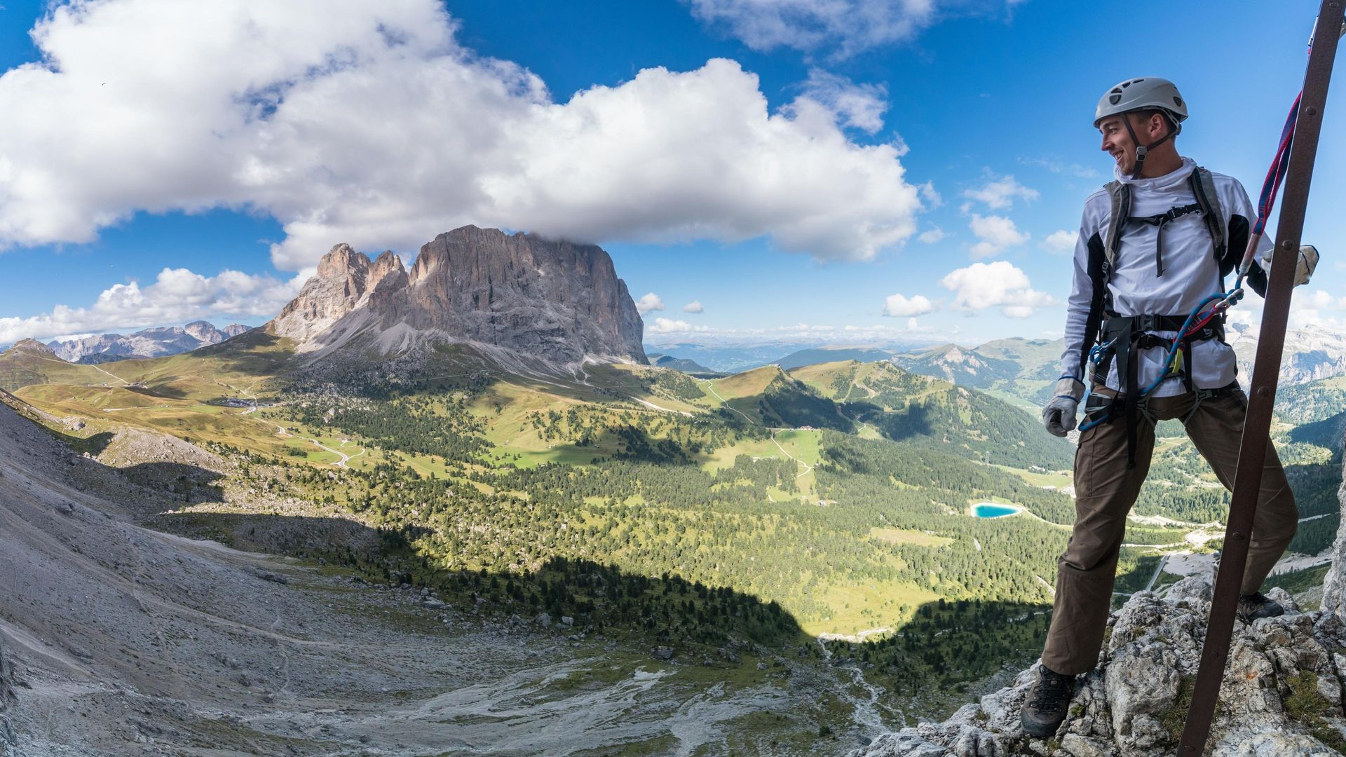
- Unique rocks and some of the most beautiful mountains in the world await you in the Dolomites. Discover a beautiful landscape that has been designated a UNESCO World Heritage Site.
- The famous Sassolungo, Grohmann Peak, Sass Rigais, Furchetta and Piz Boè are among the Dolomite peaks that are higher than 3,000 metres.
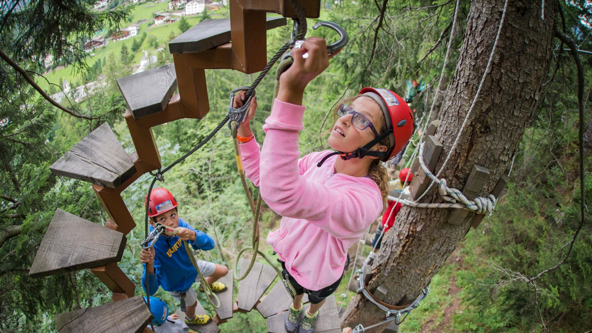
- Two alpine schools in Val Gardena support you on your tours with qualified mountain guides and climbing courses where you can develop your skills.
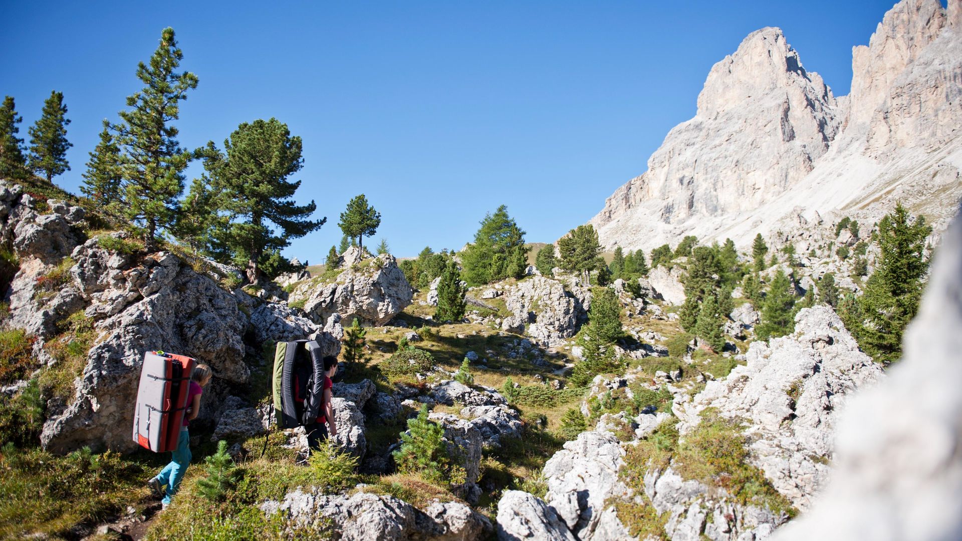
- Rent the necessary equipment on site. From ropes to carabiners, via ferrata sets to harnesses, you can easily find the right climbing equipment to rent.
- Whether you are a family with children, a beginner climber or an experienced climber – in the climbing gardens of the Dolomites, climbers of all levels will get their money's worth.