
Sassolungo group round tour
Without a doubt, the tour around Sassolungo and Sassopiatto is a must-have for fit hikers who are up for a challenge.

Tourinfo
6 h
16,0 km
940 m
940 m
2361 m
- January
- February
- March
- April
- May
- June
- July
- August
- September
- October
- November
- December
Introduction
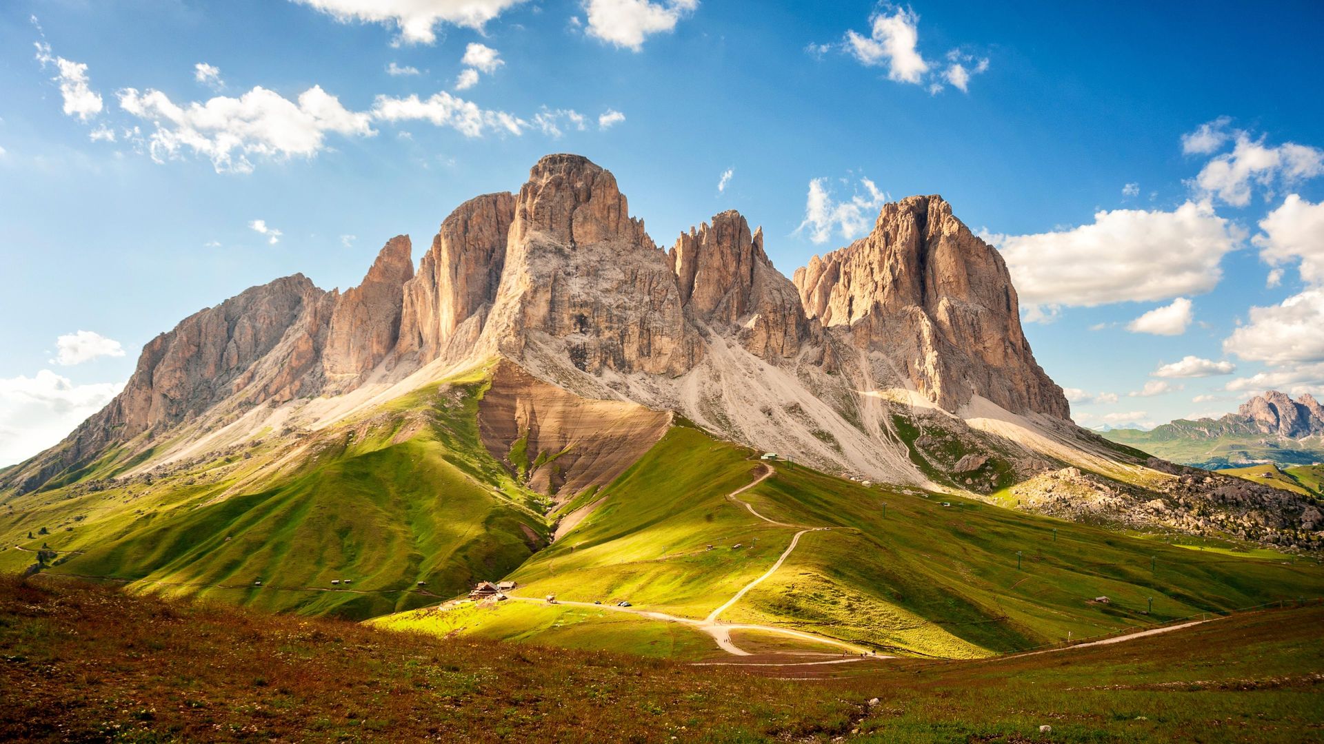
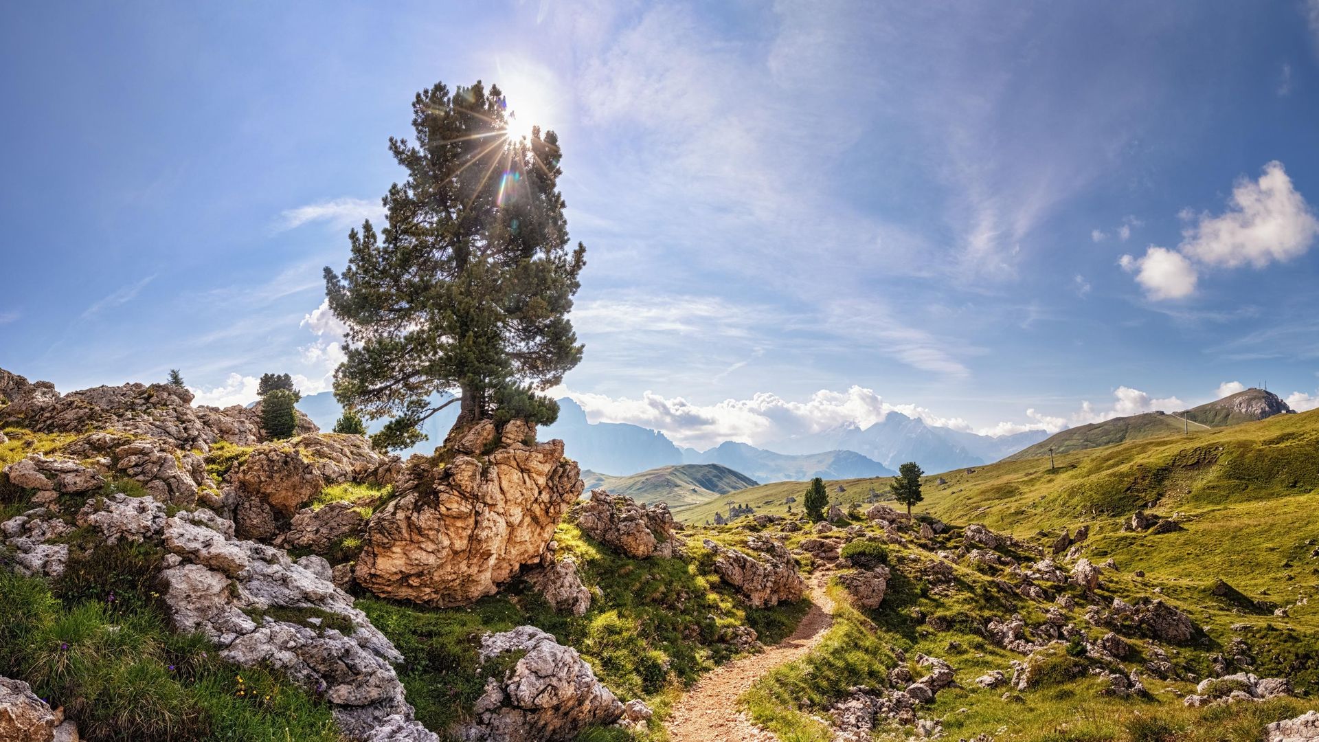
Sassolungo literally translates as “long stone”, and it’s only when you hike the entire breadth and width of this Dolomite giant that you begin to understand why the name fits in just right. The Sassolungo loop is a one-of-a-kind hike that delivers everything mountain enthusiasts expect, and more. The trail weaves in and out of breathtaking mountain landscapes where hikers can admire magnificent valleys, monumental peaks, and stop by the finest mountain huts they’ll find along the way.
Drive
From the Autostrada del Brennero (A22) highway drive through Val Gardena (SS242) to Plan de Gralba. A few hundred meters after Plan de Gralba, turn right at the junction towards Passo Sella and continue all the way to Hotel Passo Sella (SS243). Behind it you will find a large parking lot (subject to charge).
In summer, the mountain passes of the Dolomites are excellently served by public transportation. Line 471 departs from the towns of Ortisei, S. Cristina and Selva towards Passo Sella every 30 minutes. For detailed schedules, see SüdtirolMobil.
Suggestions for accommodations


Description
The long variant runs all around the entire Sassolungo group. It may be the smallest mountain range in the Dolomites, but this is still a very long excursion. Once again, we describe the tour with the Sella Pass as starting point, but you can really start anywhere along the path.
The first part of the tour follows the well-known Friedrich August trail. It leads from Passo Sella to Rifugio Valentini and on to Passo Rodella (2,313m/7,588ft.). From here it continues, without much altitude change, along trail nr. 557. As you hike look North - you'll be able to make out Punta Grohmann, Innerkofler Turm and the „Tooth of the Sassolungo“, all of which peaks more than 3,000 m / 9,800 ft. high. You will then reach Rifugio Sassopiatto (2,300 m / 9,842 ft.), from where you’ll be able to catch a glimpse of the gigantic pastures of Alpe di Siusi, the largest plateau in Europe.
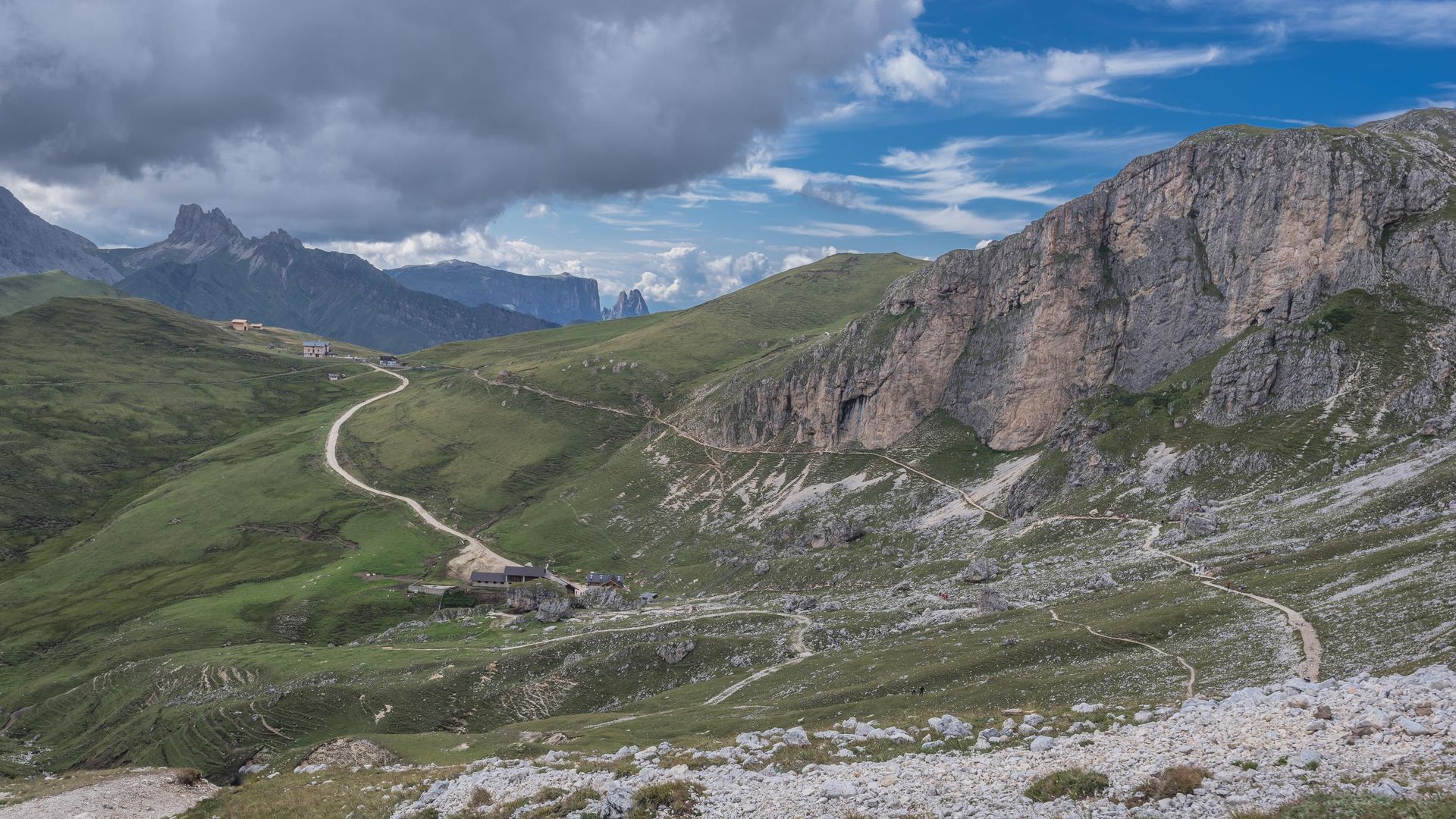
To continue your excursion take trail nr. 9, a forest road that you'll leave after just a few minutes by turning right onto trail nr. 527. The trail continues under the Sassopiatto, direction North-West, until Piz da Uridl (2,101 m / 6,893 ft.). Keep hiking until the path turns North-East and connects to trail nr. 526. From here see "Continuation of the route valid for both variants" above.
At the crossroads, turn north into trail number 526 towards Rifugio Comici. The trail skirts the path to Col de Mesdi, which rises 2,114 m (6,935 ft) above sea level. You’ll be hiking through uneven terrain for a while, and once you reach Col de Mesdi you’ll be rewarded with a spectacular view of Sassolungo’s north face.
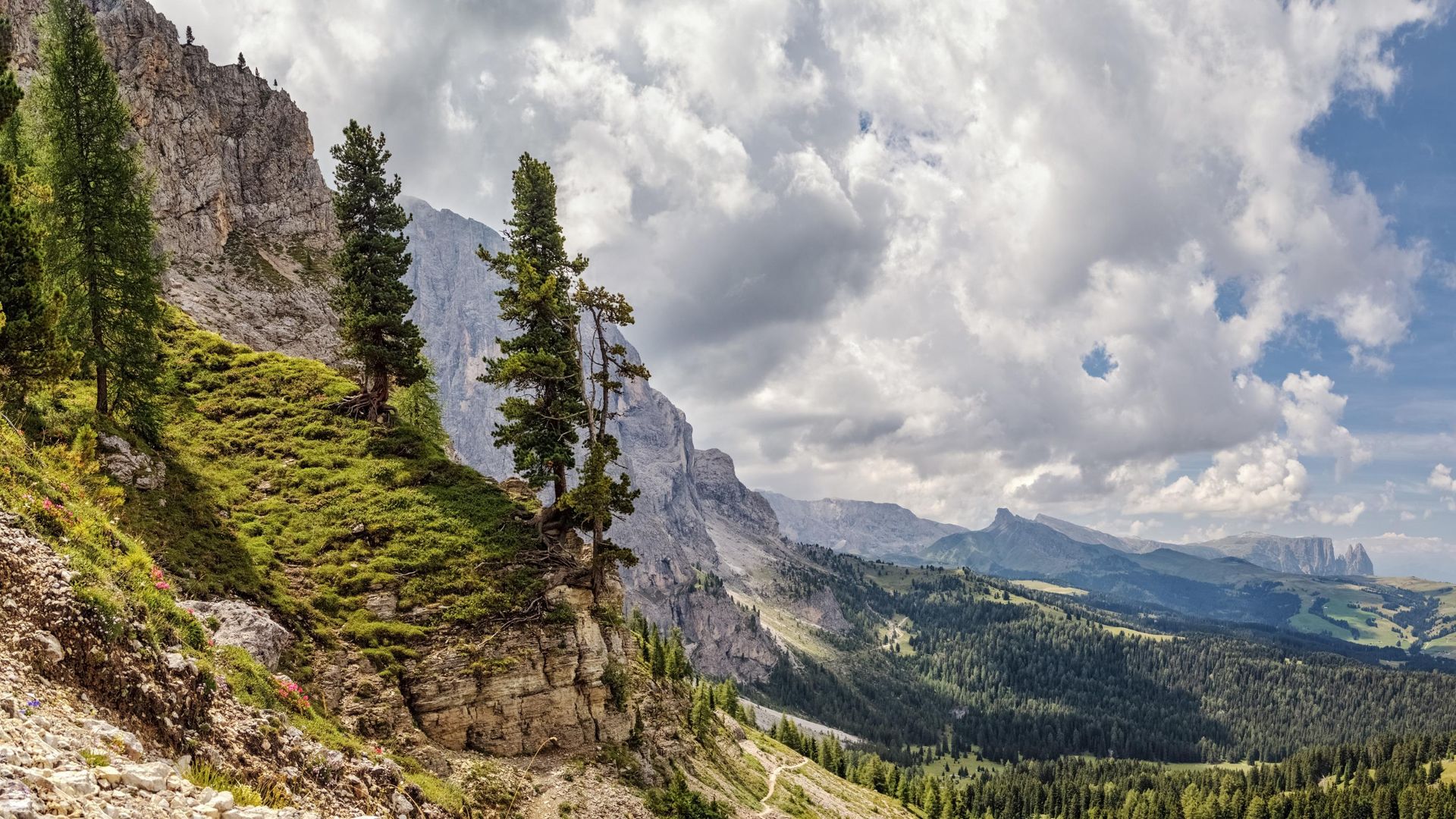
At this point you’ll have two options: you can continue the hike along trail number 526A, or stay on trail 526 if you prefer to walk on flatter terrain. Rifugio Comici is only a short climb away and provides the perfect setting for a deserved break before you set out on the trail back to Passo Sella.
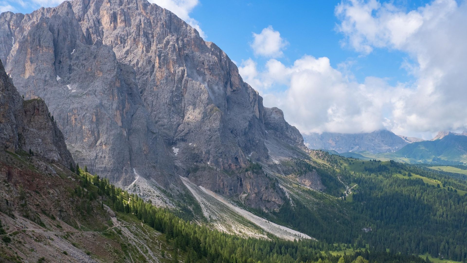
Trail 526A merges with trail 526 for the last 2.5 kilometres of the hike. After leaving Rifugio Comici, walk for a few minutes until you reach a crossroads. Our suggestion is to stick to the bottom trail, which will take you through the striking landscapes of Città dei Sassi ("city of boulders") before ending at the starting point in Passo Sella.
 Zoom
Zoom Maps
- Tabacco Nr.05, Gröden-Val Gardena or Nr. 07, Alta Badia, Arabba, Marmolada. The tabacco maps are available in their app.
- AV-Map Nr. 52/I


